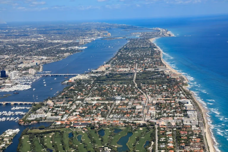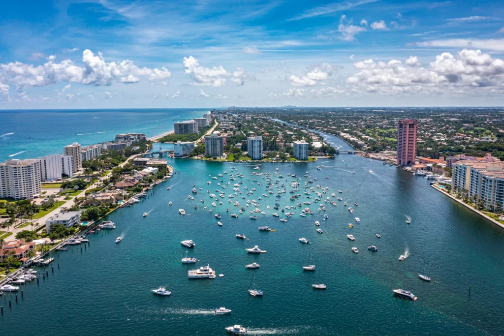
Wellington is a Palm Beach County village of more than 61,000 residents where three things shape a home purchase: the 9,200-acre Equestrian Preserve Area, Village flood rules alongside drainage run by the Acme Improvement District, and a housing supply the village’s plan put at 96 percent built out in 2020.
This guide covers governance, housing, equestrian zoning, flood and tax questions, and where to look up facts for one specific property. Every rule is linked to the official page it comes from.
What is Wellington, Florida, and who governs it?
Wellington is an incorporated village in western Palm Beach County, and the Village of Wellington (not the county) handles its zoning, building permits and floodplain management. The Village’s demographics page lists a December 31, 1995 incorporation date and an area of 45.80 square miles. The Government page lists five council seats (a mayor, a vice mayor and three councilmembers) and a village manager who also administers the Acme Improvement District.
| Key fact | What the source says |
|---|---|
| County | Palm Beach County |
| Incorporated | December 31, 1995 |
| Population | 61,637 (2020 Census, as reported by the Village) |
| Area | 45.80 square miles, per the Village |
| School district | School District of Palm Beach County |
| Parcel municipal code | 73 |
The Property Appraiser’s taxing authority list shows Wellington as code 73, matching the first two numbers of the 17-digit parcel control number. A parcel starting with 73 sits inside the village limits, a fast first check when a tax bill is unclear.
What does Wellington’s housing supply look like?
Wellington’s own plan describes a community that is mostly built out, with most remaining land in the equestrian area. The Housing & Neighborhoods Element of the Comprehensive Plan counts 24,571 dwelling units at the start of 2020, with approximately 3,200 used seasonally. It puts the approved but unbuilt, not yet permitted inventory at about 850 units as of midyear 2020, which it says places Wellington at 96 percent of build-out under the Future Land Use Map.
- The plan says most of that unbuilt inventory is large-lot equestrian farm property inside the Equestrian Preserve, including about 218 unbuilt units in the Wellington Country Place planned unit development and potentially 340 more scattered across the preserve.
- It names four sources of new housing: build-out of recognized lots, infill on vacant or farmed land, redevelopment of former golf course land, and reinvestment in existing property.
- It expects new development along State Road 7 to be mostly mixed-use, with a predominantly multifamily residential component.
The Land Use & Community Design Element describes the pattern as primarily low-density residential, with distinct individual communities and a mix of office, retail and residential along State Road 7. Its density table runs from 0.1 dwelling units per acre in the lowest residential categories up to a standard 22 per acre in the highest (a reinvestment bonus can raise high-density land to as much as 30), so confirm a parcel’s land use designation before any purchase that assumes an addition, second unit or subdivision.
What is the Equestrian Preserve Area, and how does it affect a purchase?
The Equestrian Preserve Area is a mapped zone covering about 9,200 acres, which the Village says is almost 30 percent of Wellington’s developable land. The Village’s Equestrian Preserve page calls it a cornerstone of the village’s identity and economy, and the equestrian community page says more than 580 farms operate in the community.
Development inside the preserve is governed by the Equestrian Overlay Zoning District, which the Village’s equestrian FAQ says the council adopted in 2003. The Comprehensive Plan says the overlay sets density, requires green space, establishes an equestrian circulation system that includes crossings of roadways by riders, and allows certain land uses not permitted elsewhere in Wellington.
When LPE Realty reviews a purchase inside the preserve, the first items to confirm are the parcel’s land use designation, the overlay rules that apply to it, and the permit history of any barn, arena or guest quarters. The Village also lists these practical points:
- Livestock waste must be containerized and covered, and bin size and number should reflect the number of horses on the property.
- Waste has to leave through a registered commercial hauler, a registered self-hauler, or composting with a nutrient management program (see the manure regulations page).
- A seven-member Equestrian Preserve Committee advises the Planning, Zoning and Adjustment Board on the area.
- The Village reports more than 100 miles of public and private bridle trails.
How do flood zones, drainage and flood insurance work in Wellington?
Flood status is set parcel by parcel, and the Village will issue a flood zone determination letter at no cost for property inside its limits. The Flood Zone Determination page asks for the property address and contact information by phone or email, and says elevation certificates are available on request. The Village’s flood information page names tropical storm systems and afternoon thunderstorms as the main causes of flooding and says residents can call to ask whether a property is vulnerable to stormwater drainage problems and to inquire about historical flood information.
| Topic | What the Village says |
|---|---|
| Substantial improvement | Work that equals or exceeds 50 percent of a building’s market value makes the structure subject to the same elevation standards as new structures |
| Elevation certificate | Completed by a professional engineer or surveyor and submitted before the building may be occupied |
| New construction | Must meet minimum finished floor elevation under the South Florida Water Management District permit and above the FEMA 100-year flood elevations |
| Waiting period | A new flood policy typically takes 30 days to become effective unless a lender requires otherwise |
| Premium discount | Wellington residents are eligible for 25 percent off flood policies located in the Special Flood Hazard Area, because of the village’s Community Rating System class 6 rating |
Those rules come from the Village’s floodplain construction page, its flood insurance page and the Land Use element. The flood insurance page says flood insurance is required for structures in a high-risk area that carry a mortgage loan from a federally regulated lender or servicer, so request the zone determination early in the contract period.
The Acme Improvement District describes itself as a dependent special district created by the Legislature in 1953 for drainage, water management and infrastructure, with a service area of more than 32 square miles.
How are property taxes calculated on a Wellington home?
A Wellington tax bill combines the village’s rate with the other taxing authorities that levy on the parcel, plus any non-ad valorem charges. The Property Appraiser’s 2025 final millage rate table lists Wellington as its own line, so pull the current rates for the specific parcel.
Bills follow the county calendar on the Tax Collector’s property tax page:
- Taxes are payable November 1 through March 31, with discounts of 4 percent in November, 3 percent in December, 2 percent in January and 1 percent in February.
- Property tax is delinquent on April 1 and carries penalties and interest.
- Non-ad valorem assessments, such as Solid Waste Authority fees, are added to the ad valorem amount.
Homestead is separate. The Property Appraiser’s homestead exemption page says applications are due by March 1 of the year the benefit applies, that eligibility is measured on January 1, and that the exemption does not automatically transfer to a new residence. It describes a $25,000 exemption on the first $50,000 of assessed value and a cap that limits yearly assessed value increases to 3 percent or the change in the Consumer Price Index, whichever is lower. LPE Realty’s guides on the homestead exemption and Save Our Homes cap and Palm Beach County property taxes after you buy cover the sequence.
What should I know about hurricane evacuation zones, utilities and permits?
Evacuation zones are checked address by address: Palm Beach County’s Know Your Zone page offers an address lookup tool. It defines evacuation zones as areas that may be inundated by storm surge. The Village’s emergency management page adds equestrian hurricane information and links to county shelter details.
The Village’s utilities page shows that the Village runs its own water utility, and its Building page says permit plans are processed electronically, with inspections and permit status handled through a self-service portal. It says permit applications and plans submitted on or after December 31, 2023 must show compliance with the 8th Edition (2023) Florida Building Code.
What development rules could change the area around a Wellington home?
The Comprehensive Plan expects most new development along the State Road 7 corridor, and two state laws let some qualifying housing projects proceed without land use or zoning changes. The Village’s Wellington Green page describes the Wellington Green mall property as about 97 acres and master plan design standards adopted by Resolution R2024-38 to guide future infill.
- The Village’s Live Local Act page says eligible affordable rental projects, with at least 40 percent of units reserved for households at or below 120 percent of area median income for 30 years, get administrative approval in commercial, industrial or mixed-use zones.
- The Village’s Infill Redevelopment Act page says that law took effect May 21, 2026 and applies to environmentally impacted parcels of at least five acres next to residentially zoned land, and excludes land designated agricultural and land a local government owns or operates for public parks.
Before buying next to a vacant or commercial parcel, ask the Planning, Zoning & Building department what designation applies to it. The Parks & Recreation page calls the Wellington Environmental Preserve the village’s largest natural preserve.
How do I find my assigned school and the nearest airport?
Wellington is served by the School District of Palm Beach County, and the district publishes its own boundary lookup. The district website links a Find My School tool and school boundary maps, and describes about 160,000 students in district-operated schools. Use the tool with the property address, since the district sets assignments. The county’s commercial airport is in West Palm Beach, per the airport’s website.
Frequently asked questions
When did Wellington become a village?
The Village lists December 31, 1995 as its incorporation date and March 28, 1996 as the date it became operational as a municipality.
How do I get a flood zone letter for a Wellington property?
Call the Building Department or email Planning and Zoning with the property address and your contact information. The Village provides the determination letter at no cost for property inside its limits.
What is the homestead filing deadline in Palm Beach County?
Applications are due by March 1 of the year the benefit applies, and eligibility is measured on January 1.
Where do I check a Wellington address for school assignment?
Use the School District of Palm Beach County’s Find My School tool linked from the district website, since the district sets assignments.
LPE Realty recommends confirming each item above against the official source before an offer or sale agreement is signed. To talk it through, see buy with LPE Realty or sell with LPE Realty. LPE Realty LLC is a licensed Florida real estate brokerage.