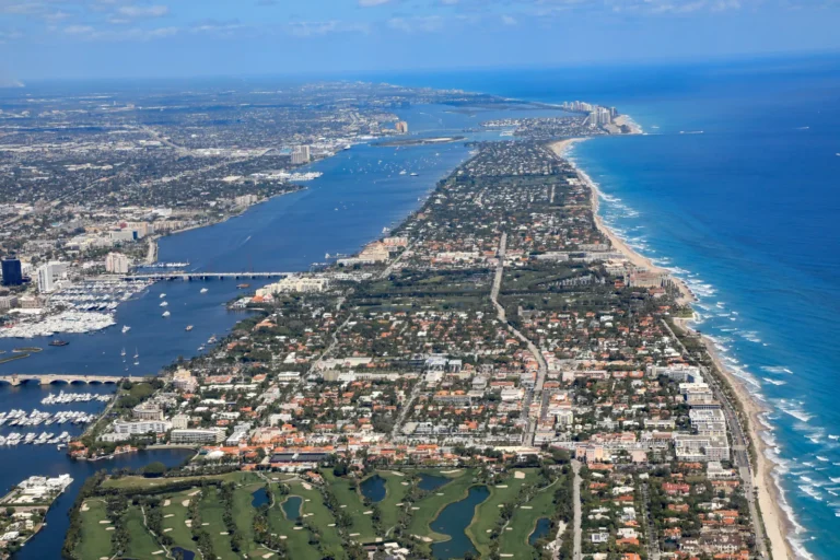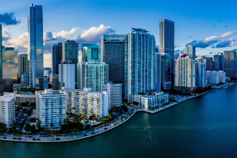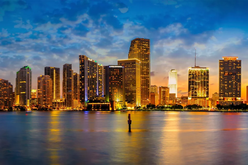
Miami-Dade County, Florida, combines 34 incorporated municipalities with unincorporated neighborhoods, so who governs the address, its FEMA flood zone and its storm surge planning zone shape a home purchase more than the county name does.
This guide covers how the county is organized, how property taxes and homestead work, what flood and storm surge maps mean, how schools, transit and the airport fit in, and where each city and unincorporated area in the county is covered. Rules and figures are linked to official sources so you can check them yourself.

What makes Miami-Dade County different from the rest of South Florida?
The county says it is bounded by Biscayne Bay and the Atlantic Ocean to the east and Everglades National Park to the west. It describes itself as encompassing more than 2,000 square miles, and states that one-third of the county lies inside Everglades National Park.
| Key fact | What the county says |
|---|---|
| County | Miami-Dade County, Florida |
| Estimated population | 2,802,029 in 2025 |
| Area | More than 2,000 square miles |
| Eastern boundary | Biscayne Bay and the Atlantic Ocean |
| Western boundary | Everglades National Park |
| Incorporated municipalities | 34 |
| Governing body | 13-member Commission, 13 districts, plus a Mayor |
| School district | Miami-Dade County Public Schools |
These figures come from the county’s own About Miami-Dade page and its school district website. The National Park Service gives a Homestead mailing address for Biscayne National Park, which it describes as 95% water and which includes the northernmost Florida Keys.
How do cities and unincorporated areas differ when you buy in Miami-Dade?
A Miami-Dade address is either inside one of 34 incorporated municipalities or in an unincorporated area, and that decides which government handles your permits, zoning and local services. The county’s municipalities page lists the 34 and their incorporation dates, from Miami in 1896 to Cutler Bay in 2005. It also notes that the City of Islandia was abolished on March 6, 2012, and that its area reverted to unincorporated status.
Planning rules reach across city lines. The county’s Comprehensive Development Master Plan establishes an Urban Development Boundary and says development orders for urban development inside it will generally be approved through the year 2020, provided level-of-service standards for necessary public facilities are met. Ask the county planning office how the boundary applies to a parcel today. When LPE Realty reviews a Miami-Dade purchase, the first question we ask is which government issues permits for the parcel, because the answer changes who you call about an addition, a pool or a dock.
How do property taxes, homestead and Save Our Homes work in Miami-Dade?
Miami-Dade property taxes are billed once a year, payable beginning November 1, and the Tax Collector offers a declining early-payment discount. The county’s November 2024 tax payment notice from the Tax Collector lists the schedule below and states that real estate taxes become delinquent on April 1 of the following year.
| If paid in | Discount |
|---|---|
| November | 4% |
| December | 3% |
| January | 2% |
| February | 1% |
| March | None (gross tax) |
The Property Appraiser’s homestead page says an owner needs legal or equitable title and permanent residence on the property as of January 1, and that applications and required documentation must be submitted by March 1. Ask your closing team to put that filing on the calendar the day you close.
Once a homestead is established, the Save Our Homes page explains that the cap limits the annual increase of the assessed value to 3%, or the Consumer Price Index, whichever is lower. The same page describes portability, which lets homeowners transfer savings to a new homesteaded property. LPE Realty also covers the topic in our homestead and Save Our Homes guide.
What should buyers know about flood zones and storm surge zones?
Flood zones and storm surge planning zones are two different maps, and a Miami-Dade buyer needs to check both. The county’s storm surge zones page says five zones, marked A through E, identify the risk of storm surge, and that these zones deal strictly with storm surge, not your flood zone.
| Storm surge zone | Risk level the county states |
|---|---|
| A | Greatest risk, Category 1 and higher storms |
| B | At risk, Category 2 and higher storms |
| C | At risk, Category 3 and higher storms |
| D | At risk, Category 4 and higher storms |
| E | Category 5 storms only |
The county page links to a “Know Your Zone” map where you can check an address. FEMA’s flood zone glossary defines the Special Flood Hazard Area as the area inundated by a flood with a 1-percent chance of occurring in a given year, also called the base flood or 100-year flood. It also describes shaded Zone X as a moderate flood hazard area and unshaded Zone X as a minimal flood hazard area outside the Special Flood Hazard Area.
When LPE Realty reviews a South Florida purchase, the flood zone, the storm surge zone and the insurance quote are pulled together before the inspection period ends. Our guides on windstorm and flood insurance due diligence and Florida home insurance when buying explain the order of those steps.
How do schools work in Miami-Dade County?
Public schools in the county are run by Miami-Dade County Public Schools, whose website is dadeschools.net. Which school serves a home depends on the address, and the only dependable answer is the one the district gives for that exact address. This guide does not rate schools. Before you write an offer, confirm the assigned schools with the district directly and ask again close to enrollment, because the district can revise its attendance boundaries.
How do transit and airports shape where people live in Miami-Dade?
Miami-Dade’s Department of Transportation and Public Works operates Metrorail, and the county’s Metrorail page describes a 25-mile dual track. It runs from Kendall through South Miami, Coral Gables and downtown Miami, and reaches Brownsville, Liberty City, Hialeah and Medley. The Green Line runs from Palmetto to Dadeland South, and the Orange Line serves Miami International Airport.
The same page says Metrorail connects to Broward and Palm Beach counties at three locations: Tri-Rail at the Tri-Rail (Green Line) station, Brightline at the Historic Overtown Lyric Theatre station, and the Orange Line at the airport. The airport’s own site, miami-airport.com, credits the Miami-Dade Aviation Department and offers a map of nonstop destinations. If commuting by rail or flying often matters to you, test the trip from the exact address rather than from the city name.
Which places in Miami-Dade County does this guide cover?
Each link below goes to a separate guide for that place. The incorporation dates come from the county’s municipality list, and the unincorporated areas are those not appearing on that list of 34.
Incorporated municipalities
- Miami is the largest of the county’s 34 municipalities and was incorporated on July 28, 1896.
- Homestead was incorporated on February 8, 1913, and is the mailing city shown by Biscayne National Park.
- Florida City was incorporated on December 29, 1914.
- Miami Beach was incorporated on March 26, 1915.
- Coral Gables was incorporated on April 1, 1925, and is one of the cities on the Metrorail line the county’s transit page describes.
- Hialeah was incorporated on September 1, 1925, and is named among the places the Metrorail system reaches.
- North Miami was incorporated on February 1, 1926.
- Opa-locka was incorporated on May 14, 1926.
- Miami Springs was incorporated on August 23, 1926.
- South Miami was incorporated on June 1, 1927, and sits on the Metrorail line between Kendall and Coral Gables.
- Golden Beach was incorporated on May 21, 1929.
- North Miami Beach was incorporated on June 15, 1931.
- Miami Shores was incorporated on January 2, 1932.
- Biscayne Park was incorporated on December 1, 1933.
- Surfside was incorporated on May 18, 1935.
- El Portal was incorporated on May 30, 1937.
- Indian Creek was incorporated on May 17, 1939, and the county lists it as Indian Creek Village.
- Sweetwater was incorporated on October 10, 1941.
- North Bay Village was incorporated on August 1, 1945.
- West Miami was incorporated on April 7, 1947.
- Bay Harbor Islands was incorporated on April 28, 1947.
- Bal Harbour was incorporated on June 16, 1947.
- Virginia Gardens was incorporated on July 9, 1947.
- Hialeah Gardens was incorporated on December 1, 1948.
- Medley was incorporated on May 1, 1949, and is named among the places the Metrorail system reaches.
- Key Biscayne was incorporated on June 18, 1991.
- Aventura was incorporated on November 7, 1995.
- Pinecrest was incorporated on March 12, 1996.
- Sunny Isles Beach was incorporated on June 16, 1997.
- Miami Lakes was incorporated on December 5, 2000.
- Palmetto Bay was incorporated on September 10, 2002.
- Miami Gardens was incorporated on May 13, 2003.
- Doral was incorporated on June 24, 2003.
- Cutler Bay was incorporated on November 8, 2005.
Unincorporated areas
- Kendall is where the county’s Metrorail description says the line begins its run toward South Miami, Coral Gables and downtown, and it is not on the county’s list of 34 municipalities.
- Kendale Lakes does not appear on the county’s list of 34 municipalities, so county government serves it as unincorporated area.
- The Hammocks does not appear on the county’s list of 34 municipalities, so county government serves it as unincorporated area.
- Westchester does not appear on the county’s list of 34 municipalities, so county government serves it as unincorporated area.
- Fontainebleau does not appear on the county’s list of 34 municipalities, so county government serves it as unincorporated area.
- Three Lakes does not appear on the county’s list of 34 municipalities, so county government serves it as unincorporated area.
- Country Club does not appear on the county’s list of 34 municipalities, so county government serves it as unincorporated area.
- Redland does not appear on the county’s list of 34 municipalities, so county government serves it as unincorporated area.
Frequently asked questions
How many cities and towns are in Miami-Dade County?
The county lists 34 incorporated municipalities. Areas outside those 34 are unincorporated, and the county’s municipalities page notes it is also home to unincorporated communities and neighborhoods.
What is the homestead filing deadline in Miami-Dade County?
The Property Appraiser says applications and required documentation must be submitted by March 1. Late applications may still be accepted up to the TRIM Notice deadline.
When can I pay Miami-Dade property taxes and what discounts apply?
Taxes are payable beginning November 1. The Tax Collector lists 4% if paid in November, 3% in December, 2% in January and 1% in February, with no discount in March. Real estate taxes become delinquent on April 1.
Is a hurricane evacuation zone the same as a flood zone?
No. The county says its storm surge planning zones, lettered A through E, deal strictly with storm surge and not your flood zone. A FEMA flood zone is a separate designation used for flood insurance and mapping.
Does Miami-Dade have a rule about where development can happen?
Yes. The county’s Comprehensive Development Master Plan establishes an Urban Development Boundary. Its plan page says development orders for urban development inside it will generally be approved through the year 2020, provided level-of-service standards for necessary public facilities are met.
Ready to talk through a purchase or sale? Buy with LPE Realty or sell with LPE Realty. LPE Realty LLC is a licensed Florida real estate brokerage.